People built the Point Arena Lighthouse to mark the line between land and sea clearly, but nature has other plans. Thanks to an activefault line, changing sea level, and wave erosion, the line between the land and sea slowly changes over time. The rock formations on the Point Arena-Stornetta Lands are spectacular and complex and provide clues about how the coastline has changed over millions of years. As waves bash the rocky coastline, they cause erosion and carry sediment to the ocean floor, which fills low spots and gradually forms flat terraces.
The bluff-top trail from City Hall to the Lighthouse is on a sandy terrace that was a beach about 80,000 years ago. This terrace was pushed up from the ocean basin by the Pacific Plate as it slowly grinds against the North American Plate. The collision between these two plates started about 30 million years ago and formed the San Andreas Fault. This active fault is responsible for the lifted, twisted, and shattered rocks that are visible on the cliffs at the Point Arena Stornetta Lands.
Traces of sea level change are also evident on the Point Arena Stornetta Lands. As the world’s ice sheets and glaciers slowly expand and contract over eons, sea level rises and falls, which forms wave cut terraces at different elevations. Several of these sandy terraces are recognizable from the bluff top trail.
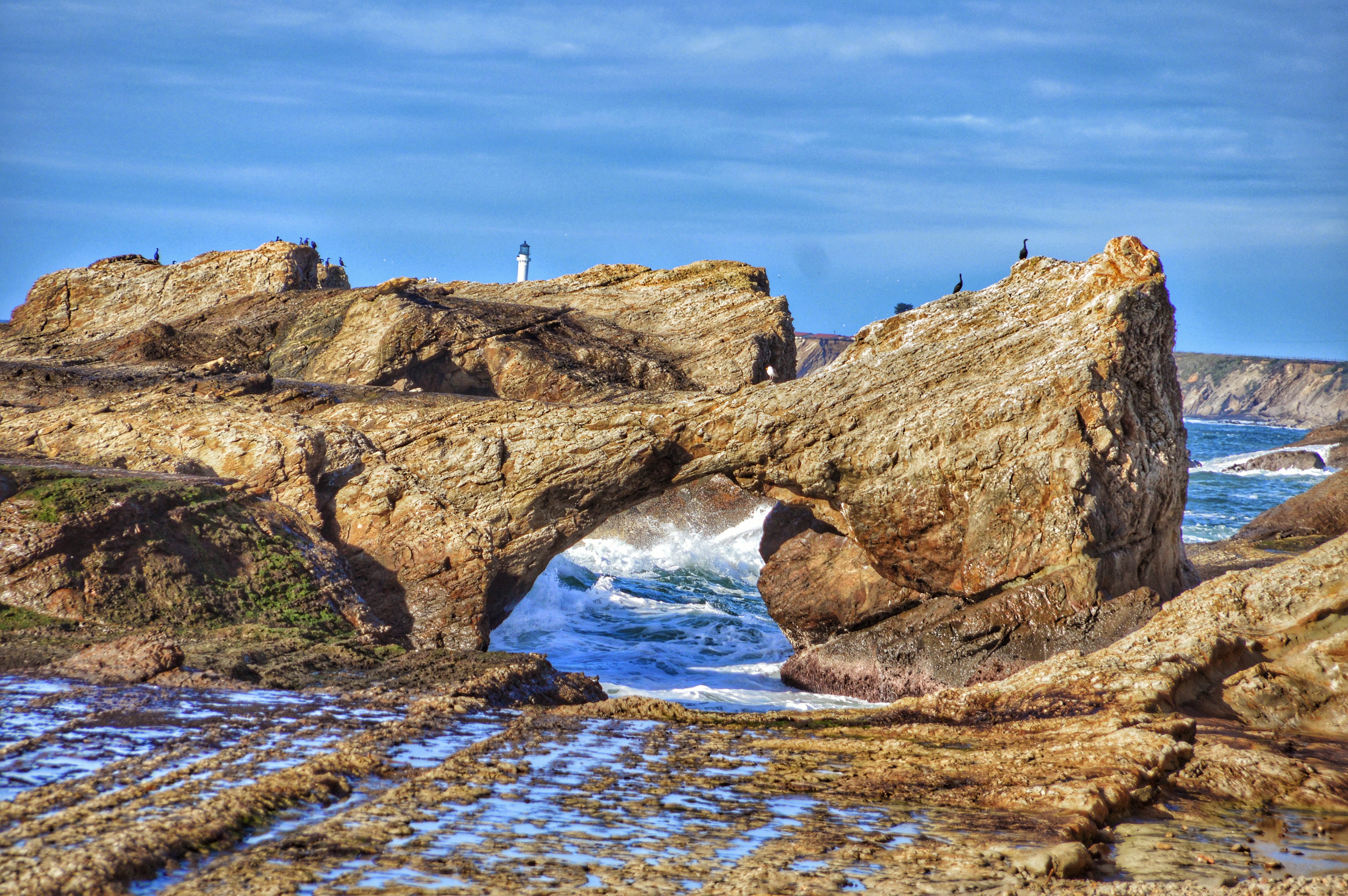
Sinkholes, Sea Caves, Sea Arches, and Sea Stacks
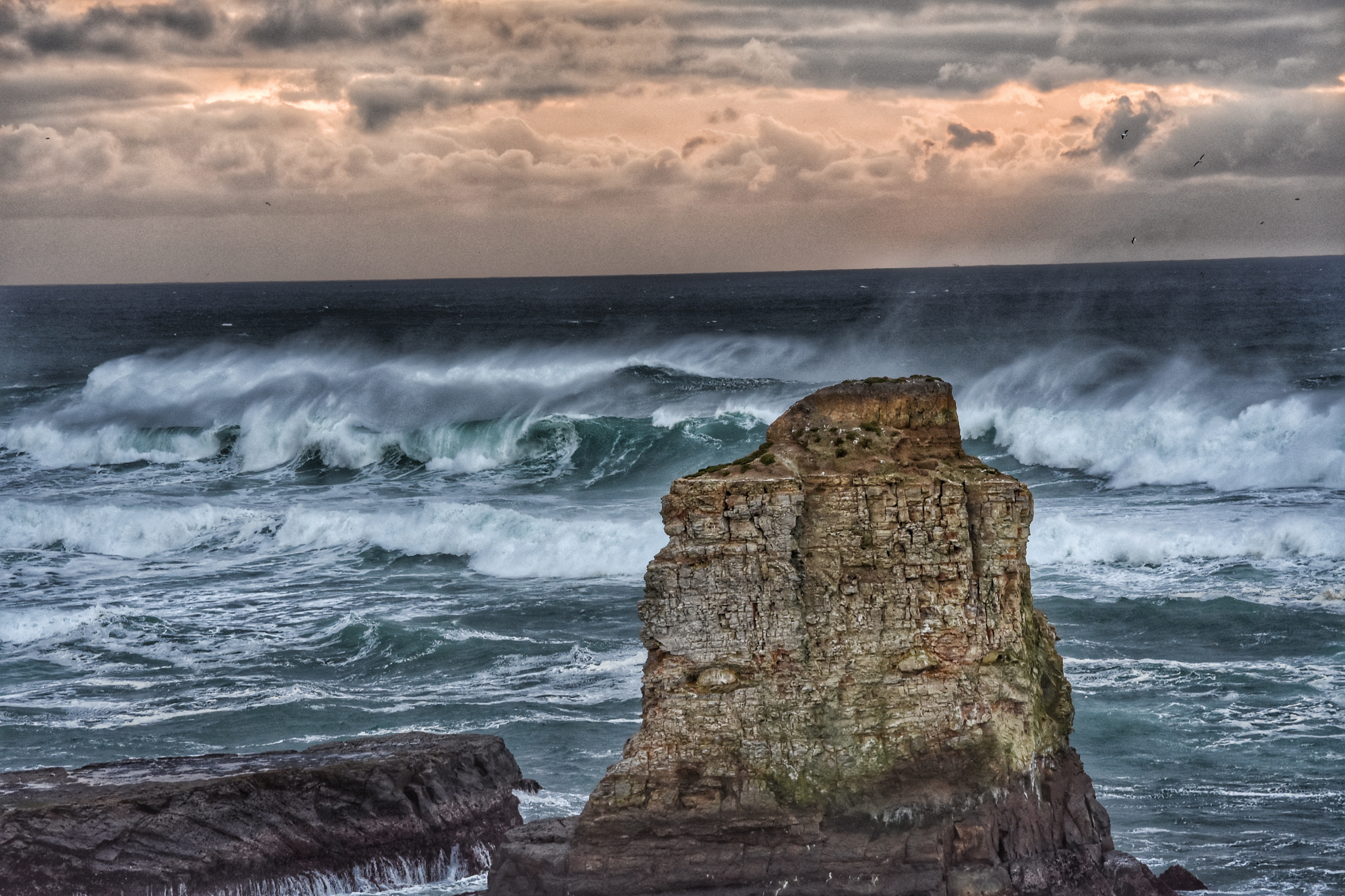
Wave erosion and plate tectonics create sea caves, sinkholes, arches, and sea stacks. The waves gradually carve out faults and weak points in the rock to create sea caves. As the erosion progresses, the rock formations slowly change. A sinkholeis formed when the ceiling of a cave collapses. A sea archis formed when waves keep cutting a cave until it passes all the way through the rock. A sea stack is formed when the top part of an arch collapses.